CELEBRATING 20 YEARS OF EXPERIENCE & PARTNERSHIPS!
gis mapping & documentation
We provide client accessible GIS mapping and digital documentation that convert field inspections into accurate, organized, and actionable infrastructure data. By integrating CCTV inspections, specialized locating, GPS field collection, and digital asset documentation, we deliver precise records that support asset management, engineering design, maintenance planning, regulatory compliance, and future construction projects.
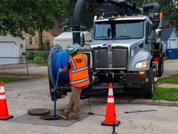
Pre- and Post-Construction Documentation
Our GIS mapping services establish accurate records before and after construction activities, allowing owners and contractors to document existing infrastructure, verify completed work, and maintain an accurate history of underground assets throughout the project lifecycle.
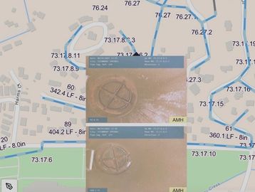
GIS Asset Mapping
We collect and document accurate field data for underground infrastructure, including sewer mains, service laterals, manholes, cleanouts, and other utility assets. Our GIS-compatible deliverables provide clients with a comprehensive digital inventory that supports long-term asset management and infrastructure planning.

GPS Data Collection
Using precision GPS technology, our field teams capture the locations of critical underground assets with high accuracy. Collected data can be integrated into existing GIS platforms or asset management systems, creating reliable infrastructure records for future reference.

Inspection Data
Inspection videos, photographs, and condition assessments are linked directly to mapped assets, this allows clients to access visual inspection records alongside geographic infrastructure data. This integration improves decision-making and simplifies future maintenance planning.